

SureSight · Licensed map data
Four layers for the people who decide where plants get built, connected, financed and insured. You license the layers instead of building the dataset yourself.
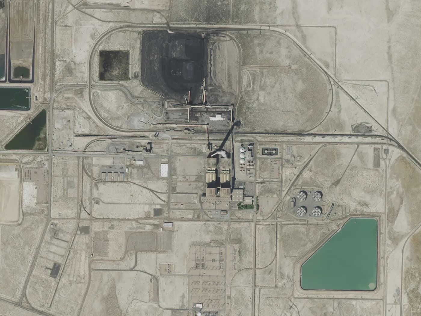
Power station and switchyard, Utah, USA. Imagery: USDA NAIP, 2021.
Mostly people who answer for sites they cannot visit every week.
Developers and EPCs
Shortlist sites by solar radiation and distance to the grid before anyone visits.
Utilities and government planners
See where plants already sit and how they relate to the network.
Lenders and insurers
A risk layer to underwrite against, so each plant is not judged from scratch.
Mine and industrial operators
Check whether your own land can host solar, and how far the nearest grid is.
Global solar power plants
Every plant worldwide, refreshed every one to two months.
Power grid
The transmission and distribution network, as a layer you can put over the plants.
Site suitability
Ground solar radiation, for working out where a plant makes sense.
Risk map
A plant-level risk layer, built for insurance underwriting.
Start with the plants
See what is already built in the area you care about.
Add the grid and the sun
See what can connect, and how much sunlight the ground gets.
Check the risk
Test the shortlist against the risk layer before money is committed.